
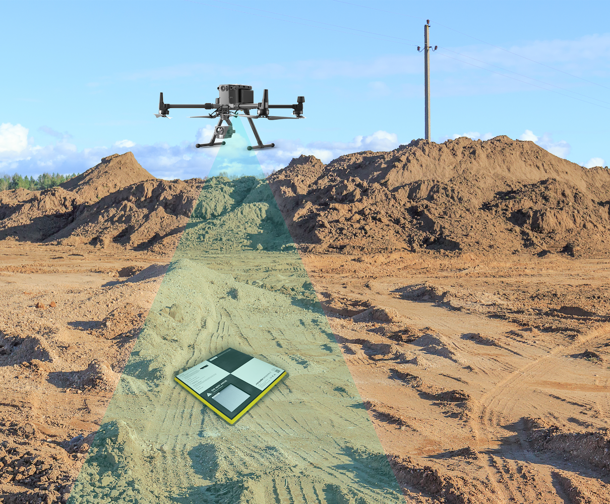
In recent years, drone technology has transformed from a niche innovation into a powerful tool across industries. From construction and agriculture to mining, environmental monitoring, and urban planning, drone surveys are redefining how data is collected, analyzed, and applied. These aerial insights offer a faster, safer, and more cost-effective alternative to traditional surveying methods, unlocking new levels of efficiency and accuracy.
The Evolution of Surveying
Traditional surveying methods rely heavily on ground-based measurements, manual labor, and time-consuming processes. Surveyors often need to physically access difficult or hazardous terrain, which can pose safety risks and slow down project timelines. While these methods have been reliable for decades, they are not always the most efficient in today’s fast-paced, data-driven world.
Drone surveys, on the other hand, utilize unmanned aerial vehicles (UAVs) equipped with high-resolution cameras, GPS systems, and advanced sensors. These drones can capture large amounts of data in a fraction of the time it would take a human surveyor. As a result, industries can now access detailed, real-time aerial insights that significantly enhance decision-making processes.
How Drone Surveys Work
Drone surveys involve deploying a UAV to capture aerial images and data of a specific area. The drone flies over the site following a pre-programmed flight path, collecting thousands of images that are later processed using specialized software.
These images are stitched together to create highly accurate maps, 3D models, and digital terrain representations. Technologies such as photogrammetry and LiDAR (Light Detection and Ranging) play a key role in converting raw data into usable insights.
The resulting outputs can include orthomosaic maps, elevation models, and volumetric measurements. These data sets are not only highly precise but also easy to analyze and share, making them invaluable for project planning and monitoring.
Key Benefits of Drone Surveys
1. Enhanced Efficiency and Speed
One of the most significant advantages of drone surveys is the speed at which data can be collected. A drone can survey a large construction site or agricultural field in minutes or hours, compared to days or weeks required by traditional methods.
This rapid data collection allows businesses to make quicker decisions, reduce downtime, and keep projects on schedule. For industries where time is critical, such as construction or disaster response, this efficiency is a game-changer.
2. Improved Safety
Safety is a major concern in industries like mining, construction, and oil and gas. Traditional surveying often requires workers to access hazardous environments, such as steep slopes, unstable structures, or contaminated sites.
Drone surveys eliminate the need for physical presence in dangerous areas. Operators can control drones remotely, capturing data without putting human lives at risk. This significantly reduces workplace accidents and enhances overall safety standards.
3. Cost-Effectiveness
Although there is an initial investment in drone technology, the long-term cost savings are substantial. Drone surveys reduce the need for large teams, heavy equipment, and extended project timelines.
Fewer personnel and faster data collection translate into lower operational costs. Additionally, drones can help detect issues early, preventing costly mistakes or delays later in a project.
4. High Accuracy and Precision
Modern drones are equipped with advanced sensors and GPS technology that ensure high levels of accuracy. When combined with sophisticated software, drone-collected data can achieve centimeter-level precision.
This level of detail is essential for applications such as land development, infrastructure planning, and environmental monitoring. Accurate data leads to better planning, fewer errors, and more efficient use of resources.
5. Access to Hard-to-Reach Areas
Some terrains are difficult or impossible to access using traditional methods. Mountains, dense forests, water bodies, and unstable structures can pose significant challenges.
Drones can easily navigate these environments, capturing data from angles and perspectives that were previously inaccessible. This capability expands the scope of surveying and allows for more comprehensive data collection.
Applications Across Industries
Construction and Infrastructure
In construction, drone surveys are used for site mapping, progress tracking, and volume measurements. Project managers can monitor construction sites in real time, ensuring that work is progressing according to plan.
By comparing drone data over time, teams can detect delays, identify issues, and optimize workflows. This leads to better project management and reduced costs.
Agriculture
Precision agriculture is one of the fastest-growing applications of drone technology. Farmers use drones to monitor crop health, assess irrigation systems, and identify pest infestations.
By analyzing aerial imagery, farmers can make informed decisions about fertilization, watering, and harvesting. This leads to increased yields and more sustainable farming practices.
Mining and Quarrying
In mining operations, drones are used to measure stockpile volumes, map excavation sites, and monitor environmental impact. These insights help improve operational efficiency and ensure compliance with regulations.
Drone surveys also reduce the need for manual measurements in hazardous mining environments, improving safety for workers.
Environmental Monitoring
Drones play a crucial role in environmental conservation and monitoring. They are used to track deforestation, monitor wildlife populations, and assess the impact of climate change.
Researchers and conservationists rely on drone data to make informed decisions about protecting ecosystems and managing natural resources.
Urban Planning and Real Estate
Urban planners and real estate developers use drone surveys to create detailed maps and 3D models of cities and properties. These visualizations help in planning infrastructure, zoning, and development projects.
Potential buyers and investors can also benefit from aerial views, gaining a better understanding of property layouts and surroundings.
Challenges and Considerations
While drone surveys offer numerous advantages, there are also challenges to consider.
Regulatory Compliance
Different countries have strict regulations governing drone usage. Operators must obtain licenses, follow flight restrictions, and comply with privacy laws. In Pakistan, for example, drone usage is regulated by aviation authorities, and permits may be required for commercial operations.
Weather Conditions
Drones are sensitive to weather conditions such as strong winds, heavy rain, and poor visibility. These factors can affect flight stability and data quality, potentially delaying surveys.
3. Cost-Effectiveness
0
While drones can collect data quickly, processing that data into usable formats can be resource-intensive. Specialized software and skilled personnel are required to analyze and interpret the results.
3. Cost-Effectiveness
1
Although drone surveys are cost-effective in the long run, the initial investment in equipment, software, and training can be significant. However, this cost is often justified by the long-term benefits.
The Future of Drone Surveys
The future of drone lidar drone survey services UK is incredibly promising. Advances in artificial intelligence, machine learning, and automation are set to further enhance drone capabilities.
AI-powered drones can analyze data in real time, identifying patterns and anomalies without human intervention. This will make drone surveys even more efficient and valuable for decision-making.
Integration with other technologies, such as Geographic Information Systems (GIS) and cloud computing, will also expand the potential of drone data. Real-time collaboration and remote access to data will become standard practice across industries.
Additionally, improvements in battery life, sensor accuracy, and flight autonomy will allow drones to cover larger areas and perform more complex tasks.
Conclusion
Drone surveys are revolutionizing the way we collect and analyze spatial data. By providing faster, safer, and more accurate insights, they are unlocking new levels of efficiency across a wide range of industries.
From construction and agriculture to environmental monitoring and urban planning, the applications of drone technology are vast and growing. While challenges such as regulations and weather conditions remain, the benefits far outweigh the limitations.
3. Cost-Effectiveness
2